
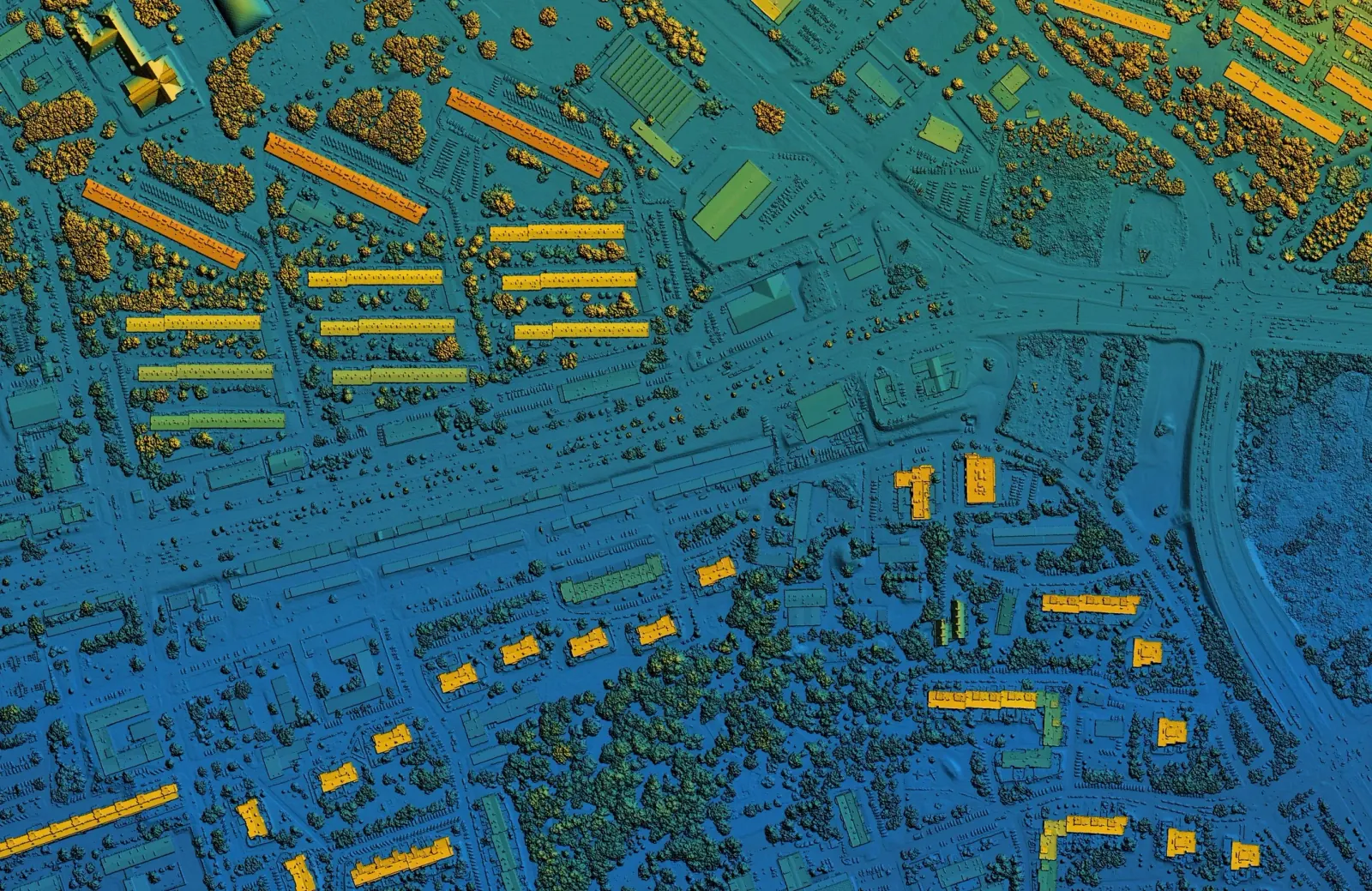
Connecting Feathergrid to ArcGIS: Your Next Move, on the Map
Your GIS team already lives in ArcGIS. Feathergrid connects to ArcGIS and publishes Feature Services, so what it finds can show up as layers on the maps your team already uses.
Feathergrid connects to ArcGIS. It can publish Feature Services, so what it finds can show up as layers on the maps your GIS team already uses, next to your assets, service areas and field crews. No new mapping tool to learn.
Here's why that matters, and where it fits.

Why ArcGIS?
Because that's where so many operations already see their world.
Utilities, water systems, public works, emergency management, agriculture and logistics teams run on ArcGIS. Their assets are mapped there. Their crews are dispatched from there. Asking them to switch to a new map to see what Feathergrid found would be asking them to work in two places.
So Feathergrid goes to ArcGIS instead.
What is a Feature Service, in plain terms?
A Feature Service is how ArcGIS shares map data: points, lines and areas, each with details attached. Publish one, and anyone with access can add it to a map in ArcGIS as a layer, filter it, style it and share it.
When Feathergrid publishes a Feature Service, its findings become one more layer your team can turn on.
It can publish Feature Services, so what it finds can show up as layers on the maps your GIS team already uses, next to your assets, service areas and field crews.
What would a GIS team see?
Feathergrid's job is to tell you your next move. On a map, that means seeing where:
- Which pump station has readings that add up to a failure, and what to do before Thursday.
- Which field to fly first, and which to hold because rain is on the way.
- Which part of the network needs a crew, next to the crews already out.
Every recommendation keeps its reasons and how often recommendations like it have been right before, so the map isn't just dots. It's a decision with the evidence attached.
Who decides what happens next?
Your rules. Feathergrid acts on its own only where you've chosen that:
- Routine steps run on their own. You choose which ones.
- Big calls wait for a person.
- One switch stops everything.
Every recommendation, approval and action goes on Feathergrid's tamper-evident record.
Where does this matter most?
Anywhere the answer depends on where things are:
- Critical infrastructure. Utilities, water and emergency operations. See government.
- Agriculture. Fields, zones and drone flights. See agriculture.
- Field equipment. Pumps, compressors and the crews that service them. See field equipment.
- Logistics. Docks, trailers and routes. See logistics.
The short version
Your GIS team keeps ArcGIS. Feathergrid connects to it and publishes Feature Services, so your next move shows up on the map you already trust, with the reasons attached.
See how it works or book a scoping call.
Topics